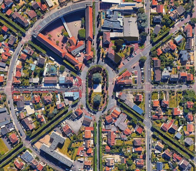
Geospatial Technologies Geospatial technologies are at the heart of modern innovation, transforming how we view, analyze, and interact with the world. From everyday conveniences like…
Tag: TechTrends
In today’s data-driven world, the fusion of geospatial technologies with big data has unlocked an era of unparalleled insights into Earth’s systems. Geospatial big data…
Geographic Information Science (GIScience) is more than just the study of maps and data—it’s a multidisciplinary field that explores how spatial information is collected, analyzed,…
Cartography and Spatial Data Infrastructure (SDI) are two pillars of geographic information management, shaping how we visualize, analyze, and utilize spatial data. While cartography focuses…


