

Introduction to NDVI NDVI, or the Normalized Difference Vegetation Index, is a widely used metric in remote sensing that quantifies vegetation health and density. It…
Introduction to NDVI NDVI, or the Normalized Difference Vegetation Index, is a widely used metric in remote sensing that quantifies vegetation health and density. It…

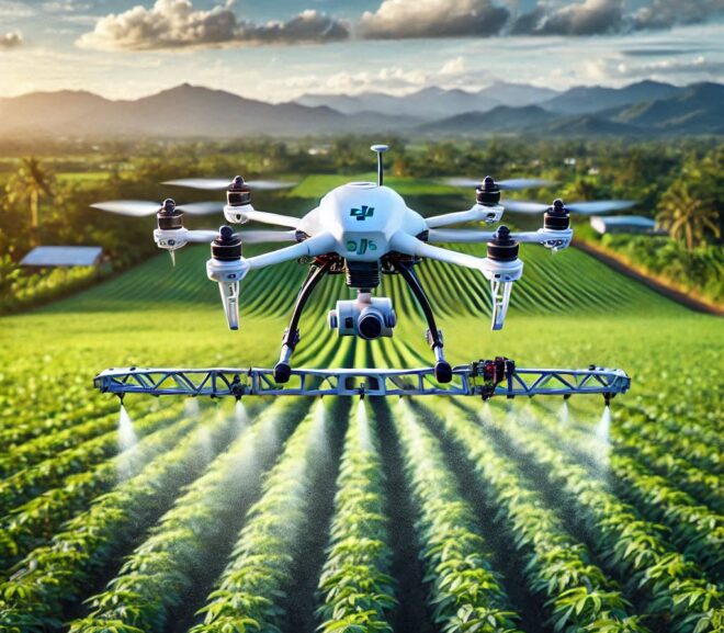
Variable Rate Application (VRA) is a transformative agricultural practice aimed at optimizing resource use and improving crop yields. By tailoring inputs like fertilizers, pesticides, and…
Introduction to Modern Farming Technologies The Agricultural Revolution The world of agriculture has undergone a seismic shift in the past few decades. Traditional farming practices,…
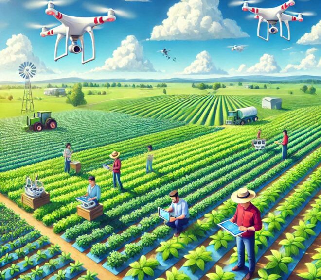
Precision Farming Precision farming, also known as precision agriculture, is a farming management approach that uses technology to observe, measure, and respond to inter- and…

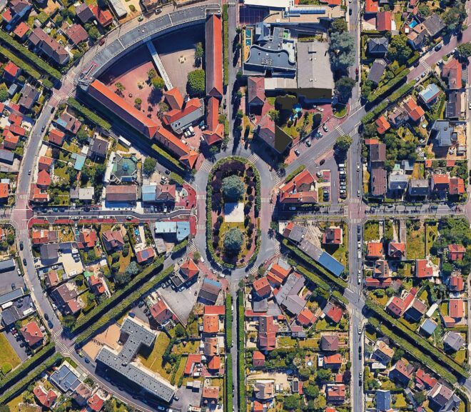
Geospatial research has revolutionized how we understand and interact with the world. From mapping urban landscapes to monitoring environmental changes, its applications are endless. But…
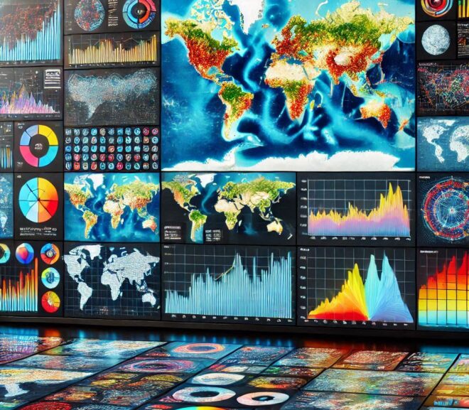
Geographic Information Science (GIScience) is more than just the study of maps and data—it’s a multidisciplinary field that explores how spatial information is collected, analyzed,…

Cartography and Spatial Data Infrastructure (SDI) are two pillars of geographic information management, shaping how we visualize, analyze, and utilize spatial data. While cartography focuses…
Geospatial Data Sources is transforming how we understand the world around us. But what exactly is it? In simple terms, geospatial data represents information tied…

Introduction to Spatial Analysis What is Spatial Analysis? Basic Definition Spatial analysis involves examining the locations, attributes, and relationships of features in spatial data. By…