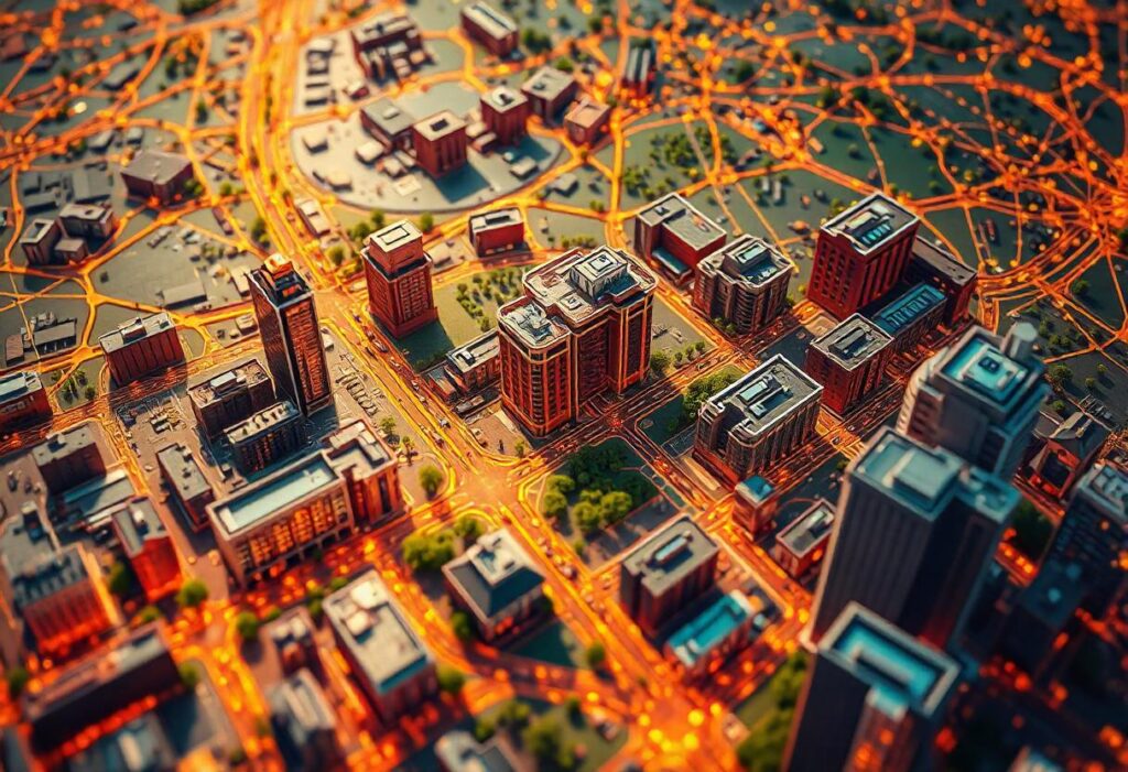
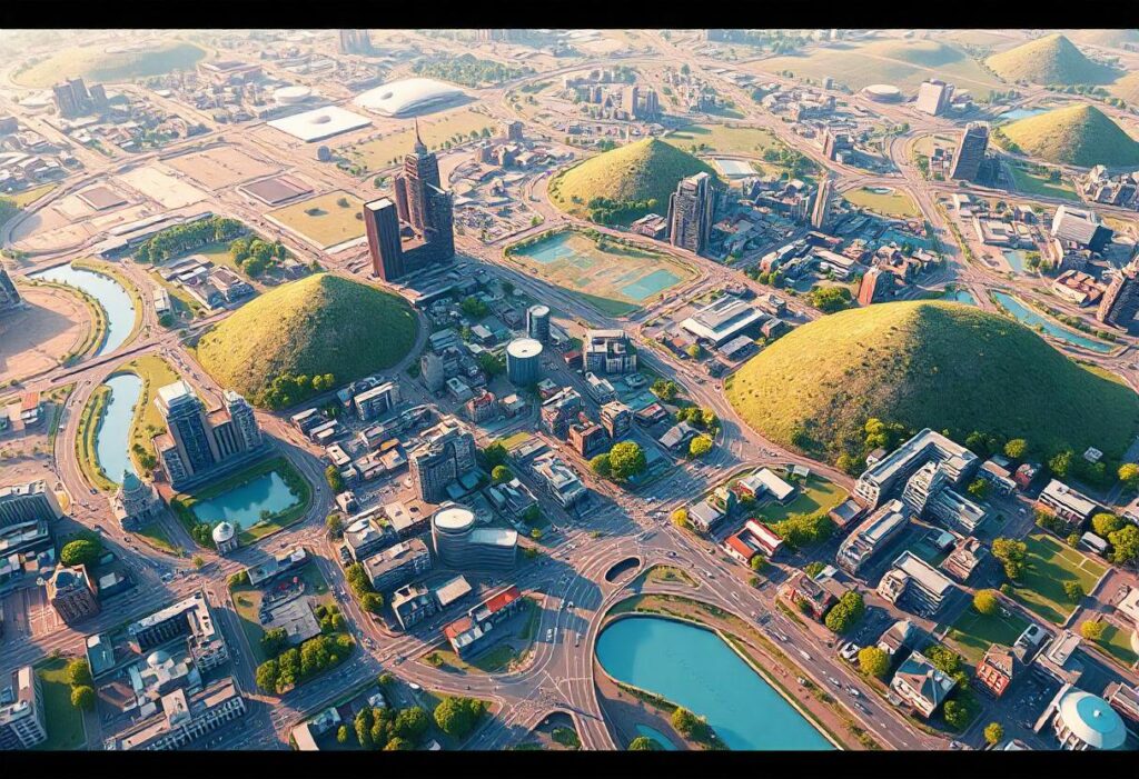
Geospatial Information Science (GIScience) refers to the discipline focused on capturing, analyzing, and visualizing spatial data to understand geographic patterns and relationships. It combines geography with cutting-edge technology to enable data-driven decision-making. GIScience serves as the backbone for a wide array of industries, from urban planning to disaster response.
VTech: Revolutionizing Learning and Play
The Case of the Missing Vitamins
Full Dive VR and Information Systems: The Future of Immersive Technology
Why is GIScience so crucial today? In an increasingly interconnected world, where every decision is influenced by location, GIScience helps answer questions about “where” and “how.” Whether determining the best routes for logistics or planning cities for sustainable growth, GIScience empowers industries with actionable insights derived from spatial data.
The Evolution of Geospatial Information Science
Historical Perspective
The origins of GIScience trace back to the mid-20th century, when cartography transitioned into the digital realm. Early digital maps and aerial photography laid the groundwork for modern geospatial technologies.
Key Technological Advancements
Over the decades, advancements like satellite imaging, GPS technology, and cloud-based GIS platforms have revolutionized how spatial data is collected and analyzed. Today, technologies like LiDAR (Light Detection and Ranging) and AI-driven analytics represent the cutting-edge of GIScience.

Core Concepts in Geospatial Information Science
Geographic Information Systems (GIS)
GIS is the foundation of GIScience. It involves creating, managing, and analyzing geospatial data to provide meaningful visualizations like maps and 3D models.
Remote Sensing
Remote sensing refers to the collection of data about Earth’s surface from satellites or aircraft. It helps monitor environmental changes, map terrain, and detect resources.
Spatial Data Analysis
This involves interpreting geospatial data to identify trends and make predictions. Tools like geostatistics and spatial modeling play a crucial role in this process.
How Geospatial Information Science Impacts Everyday Life
Urban Planning
Cities utilize GIScience to optimize land use, design infrastructure, and ensure sustainable development. Planners rely on spatial data to tackle urban challenges like traffic congestion and housing shortages.
Disaster Management
Geospatial tools are vital for predicting natural disasters, mapping evacuation routes, and coordinating rescue operations. Early warning systems rely heavily on spatial data to save lives.
Navigation and Mapping
From GPS devices to online maps, GIScience ensures seamless navigation for individuals and businesses. It enables location-based services like ride-sharing apps and e-commerce deliveries.
Applications of Geospatial Information Science in Various Industries
Agriculture
Precision agriculture leverages GIScience to optimize crop yields, monitor soil health, and manage water resources efficiently.
Healthcare
Healthcare organizations use spatial data to map disease outbreaks, allocate resources, and plan vaccination campaigns.
Transportation
GIScience enhances transportation systems by enabling efficient route planning, real-time tracking, and infrastructure development.
The Role of GIS in Smart Cities
Enhancing Urban Development
Smart cities use GIS to integrate various systems, such as utilities, public transport, and emergency services, into a cohesive framework.
Smart Infrastructure and Sustainability
GIScience promotes sustainable urban growth by monitoring energy usage, reducing carbon footprints, and optimizing waste management systems.
Remote Sensing: A Game-Changer in Geospatial Science
Techniques and Tools
Remote sensing is the process of gathering data about Earth’s surface without direct contact, typically through satellites, drones, or aircraft. Key techniques include multispectral imaging, thermal sensing, and LiDAR (Light Detection and Ranging). Each method provides unique insights—for example, multispectral imaging helps identify vegetation health, while LiDAR excels at creating high-resolution 3D terrain models.
Use Cases
Remote sensing has revolutionized fields such as environmental monitoring, urban planning, and agriculture. For instance, it enables early detection of deforestation and tracks ice cap melting to assess the impacts of climate change. In agriculture, remote sensing helps monitor crop conditions over vast areas, allowing farmers to act swiftly against potential threats like drought or pest infestations.
Data Collection in Geospatial Science
Methods of Data Acquisition
Geospatial science relies on diverse methods for data collection, ranging from traditional surveying techniques to cutting-edge technologies like drones and IoT devices. Ground-based surveys collect highly accurate local data, while aerial and satellite imagery provide a broader view.
Role of Satellites, Drones, and IoT
Satellites like those in the Landsat and Sentinel programs capture global imagery, offering invaluable insights into Earth’s surface changes over time. Drones, on the other hand, excel at collecting high-resolution data for localized projects, such as mapping construction sites or monitoring wildlife. IoT devices, such as smart sensors, provide real-time geospatial data, enhancing applications like traffic management and environmental monitoring.
The Importance of Spatial Data Analysis
Techniques for Interpreting Spatial Patterns
Spatial data analysis involves examining relationships and trends in geospatial data. Techniques like spatial interpolation, hot spot analysis, and spatial autocorrelation allow researchers to uncover patterns and predict outcomes. For instance, mapping crime hot spots can guide law enforcement to allocate resources more effectively.
Predictive Modeling
Predictive modeling uses historical geospatial data to forecast future scenarios. This approach is widely used in disaster management, urban planning, and market analysis. For example, predictive models can estimate the spread of a wildfire or the impact of urban sprawl on natural habitats.
Challenges in Geospatial Information Science
Data Privacy Concerns
With the widespread use of geospatial tools, concerns about data privacy have escalated. Location data is sensitive, and misuse can lead to breaches of individual privacy. Regulatory frameworks, such as GDPR and CCPA, are vital to ensure ethical handling of geospatial information.
Technical Barriers
Despite advancements, challenges like high costs of technology, limited access to high-quality data, and the need for skilled professionals persist. Developing nations often struggle to adopt geospatial technologies due to these barriers, widening the digital divide.
The Future of Geospatial Information Science
AI and Machine Learning Integration
Artificial intelligence (AI) and machine learning (ML) are set to transform GIScience. These technologies automate data analysis, uncovering insights faster and more accurately. For example, ML algorithms can classify satellite imagery to detect land use changes or monitor deforestation.
Anticipated Technological Trends
Emerging trends, such as augmented reality (AR), virtual reality (VR), and blockchain, are expanding the applications of GIScience. AR and VR provide immersive spatial experiences, while blockchain ensures secure and transparent data sharing in geospatial projects.
Geospatial Science in Environmental Conservation
Monitoring Climate Change
Geospatial tools play a critical role in tracking global climate change. By analyzing data from satellites and sensors, scientists can monitor rising sea levels, shrinking glaciers, and changing weather patterns. This information guides policies aimed at mitigating environmental impact.

Wildlife Tracking and Habitat Management
GPS-enabled collars and drones help track wildlife movements, providing insights into migration patterns and habitat use. Such data is vital for designing conservation strategies and protecting endangered species from threats like habitat loss and poaching.
Geospatial Information Science for Public Safety
Emergency Response Planning
During disasters, geospatial tools enable authorities to plan evacuation routes, map affected areas, and coordinate relief efforts. Real-time mapping during events like hurricanes or earthquakes ensures swift and efficient responses.
Crime Mapping and Prevention
Law enforcement agencies use geospatial tools to analyze crime patterns and predict potential trouble spots. Crime mapping not only helps allocate resources but also enhances community safety through proactive measures.
Geospatial Education and Career Opportunities
Academic Pathways
Education in GIScience is available at various levels, from certifications to advanced degrees. Topics covered include cartography, spatial statistics, and programming in geospatial software like ArcGIS and QGIS.
Career Roles and Growth Potential
GIScience offers diverse career opportunities, including roles as GIS analysts, remote sensing specialists, urban planners, and environmental consultants. As the demand for geospatial expertise grows, so does the potential for career advancement in this dynamic field.
Future Perspectives
Geospatial Information Science is a cornerstone of modern problem-solving, offering tools to understand and address complex global challenges. From urban planning to environmental conservation, its applications are transformative and far-reaching. With advancements in AI, machine learning, and IoT, the future of GIScience holds immense potential to shape a more sustainable and efficient world.
FAQs
1. What is the difference between GIS and GIScience?
GIS refers to the tools and systems used to manage and analyze geospatial data, while GIScience encompasses the broader study and theoretical foundation of those tools and their applications.
2. How does remote sensing benefit agriculture?
Remote sensing helps monitor crop health, optimize irrigation, and detect potential threats, allowing for data-driven decisions in precision agriculture.
3. Are there any privacy concerns with geospatial data?
Yes, location-based data can be sensitive, and improper handling may lead to privacy violations. Strict regulations are necessary to safeguard user information.
4. What skills are essential for a career in GIScience?
Key skills include proficiency in GIS software, programming (e.g., Python, R), spatial data analysis, and remote sensing techniques.
5. How does geospatial technology aid in disaster management?
Geospatial tools map disaster-prone areas, simulate evacuation plans, and provide real-time data during emergencies, ensuring better coordination and response.
